The Idea
opening frame

The Idea

From a lunch break to a research question

This project began in 2023 as a personal act of attention. As a developer and designer working in Colombelles, Normandy, I had access during lunch breaks to the fringes of a vast post-industrial brownfield: the former Société Métallurgique de Normandie (SMN) steelworks, a site of approximately 60 hectares that ceased operations in 1993. What struck me first was not the ruin, but what had grown back. Grasses, orchids, thistles, wild carrot, mosses colonising cracked concrete –a spontaneous, unplanned floristic community that no one had asked to be there and no one had removed. That same year, I decided to begin studying Biology at the Université de Caen Normandie.

The initial question was entirely personal: what is this? What species are present here, and why here? But the more time I spent on the site, the more that question multiplied. It became: how does a living community establish itself in the absence of any intention? And then: what does it mean to document that process, and to whom?

The transition from curiosity to research project happened gradually and without a formal institutional framework. There was no thesis director who framed the question, no laboratory that defined the protocol. The project is, in the strongest sense of the phrase, an independent research project –carried out by a very amateur practitioner who is simultaneously completing a biology licence at the Université de Caen Normandie. This positioning is not a limitation: it is constitutive of the epistemological stance described in Chapter 3.

The brownfield as scientific object

Post-industrial brownfields represent a distinctive and understudied category of habitat. Unlike managed nature reserves or agricultural land, they are sites of ecological indeterminacy –spaces where soil chemistry, substrate heterogeneity, drainage patterns, and disturbance history combine to produce conditions that cannot be predicted from regional flora alone. The SMN site presents a particular case: a calcareous substrate (slag and rubble), low nitrogen content, high solar exposure in open areas, and minimal management (occasional mowing and maintenance of planted areas at the periphery). These conditions favour species assemblages characteristic of dry calcareous grasslands and ruderal communities, including several taxa of conservation interest.

The site's spontaneous flora is not a degraded version of something else. It is a distinct ecological object, emerging from the specific history of industrial use and gradual abandonment. Documenting it is not merely an inventory exercise: it is an attempt to understand recolonization as a process, unfolding over time in a space that carries multiple, heterogeneous temporalities simultaneously.

Citizen science and its limits

The project positions itself in dialogue with the tradition of citizen botanical science, which in France has a long and rigorous history through networks such as the Société Botanique de France, regional conservatories, and national databases such as TaxRef (INPN). At the same time, it does not claim to be a standard citizen science contribution in the GBIF-data-submission sense. The ambition is different: to produce a qualitative, narratively rich, and visually articulate documentation of a specific site over several years, not a data point in a national occurrence dataset.

This distinction matters. Citizen science at scale necessarily sacrifices depth for breadth. This project does the opposite: it sacrifices breadth –it covers one site, intensively, repeatedly –in order to achieve a granularity of observation and interpretation that a standardised protocol cannot accommodate. The trade-off is explicit and deliberate. A future development of the project envisions opening participation more broadly, transforming the current single-observer model into a participatory one.

Why document, and for whom

Documentation here is not a neutral act. It is an argument: that this site is worth attention, that the plants growing there have biological and cultural significance, and that the act of walking through a brownfield with a hand lens and a herbarium press is a form of situated knowledge production that deserves to be taken seriously. The project's outputs –a scientific poster presented at the State of the World's Plants and Fungi Symposium (Kew Gardens, June 2026) and a scrollytelling website (lunchbreakflora.com) –are addressed simultaneously to the botanical community and to a wider public audience. This dual address is not a compromise: it reflects the belief that rigorous science and accessible narration are not incompatible. Beyond the scientific dimension, the project carries a simpler and perhaps more fundamental intention: to share a different vision of this site, to popularise knowledge of its plants, and to transmit the particular joy that these walks produce.
Field Methodology
field methodology

Field Methodology

The site and its constraints

The former SMN steelworks occupies approximately 60 hectares in the commune of Colombelles, immediately northeast of Caen. The site is partially enclosed and not freely accessible to the public; field access was obtained and maintained through proximity and familiarity with the site perimeter over the course of the project. Conditions on the ground are heterogeneous: open rubble areas, scrub edges, remnant infrastructure (concrete slabs, rail lines, embankments), sheltered walls, and transitional zones between these microhabitats.

The survey approach is that of expert whole-site assessment, with observations recorded at the level of the site as a whole and, where appropriate, at the level of distinct microhabitat zones. This choice reflects the nature of the question being asked: not the quantitative composition of a defined vegetation plot, but the presence, frequency, and ecological meaning of species across a heterogeneous post-industrial landscape.

Sampling strategy and survey rhythm

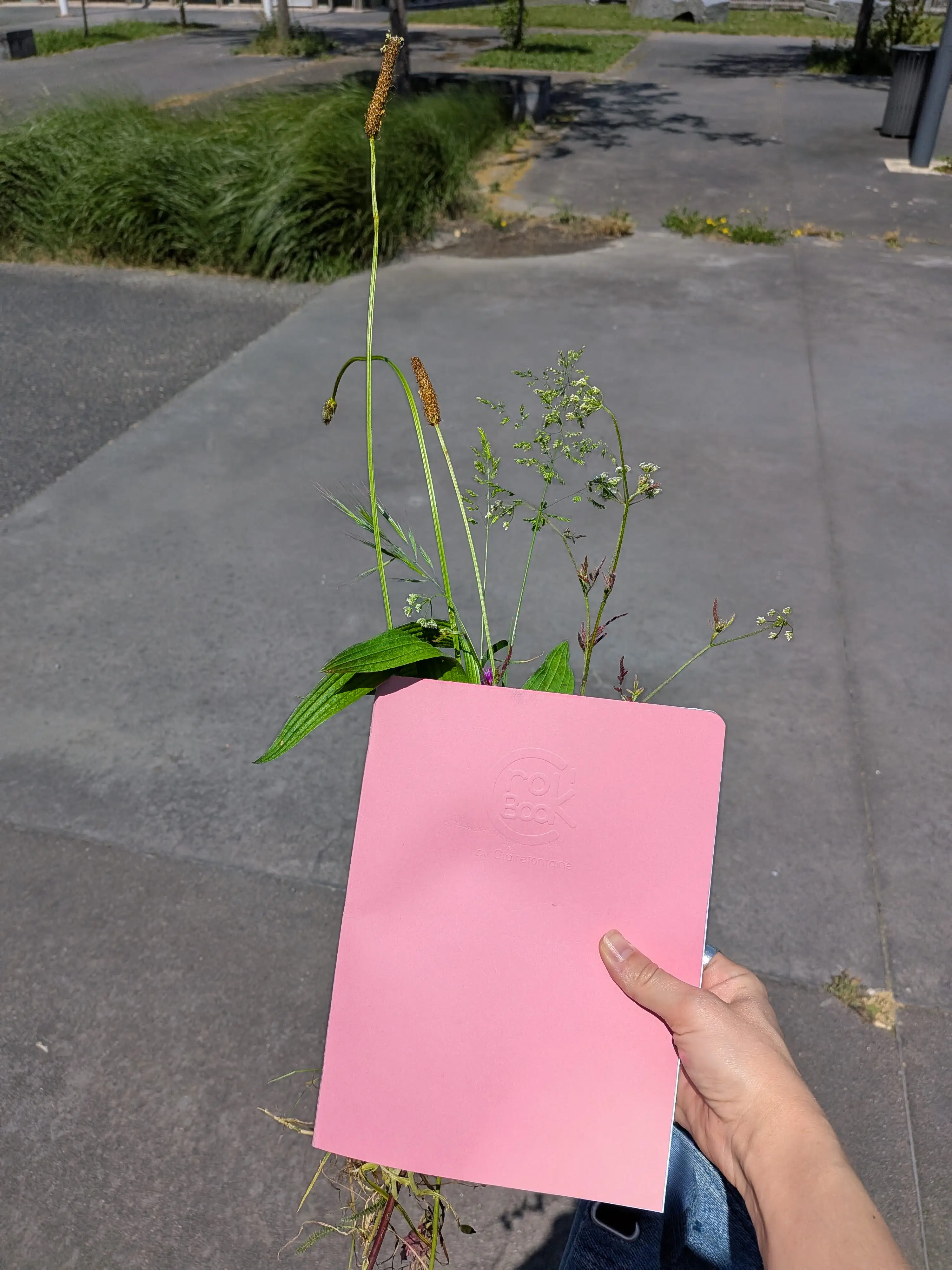
Field surveys were conducted from 2023 to the present, with two distinct rhythms. Routine visits took place on weekday lunch breaks –approximately 60 minutes each, repeated throughout the growing season, focused on walking, taking notes, and observing without a fixed protocol. Intensive surveys were conducted on weekend days, allowing 3 to 6 hours of continuous work including determination of difficult taxa, collection of herbarium specimens, and systematic photographic documentation.

This combination of rhythms is methodologically significant. The short, repeated visits allowed observation of phenological change: the same spot visited in February, April, June, August, and October produces different information than a single June survey. The intensive weekend visits allowed the kind of slow, careful attention that difficult identifications require: getting on one's knees, using a hand lens, counting petals, examining ligules, checking stem cross-sections.

Abundance assessment: DAFOR / Tansley scale

Abundance of each taxon at the whole-site level was assessed using the DAFOR/Tansley scale: D (Dominant, weight 5), A (Abundant, weight 4), F (Frequent, weight 3), O (Occasional, weight 2), R (Rare, weight 1).

An "L" prefix (e.g., LF = Locally Frequent) was used for taxa showing concentrated but spatially restricted abundance; these receive half the weight of the corresponding unmodified code. Codes NS (not surveyed) and NC (not classifiable) were excluded from weighted calculations. All DAFOR assessments are the author's own field estimates and represent whole-site expert frequency assessments, not plot-based Braun-Blanquet cover values.

Photographic documentation

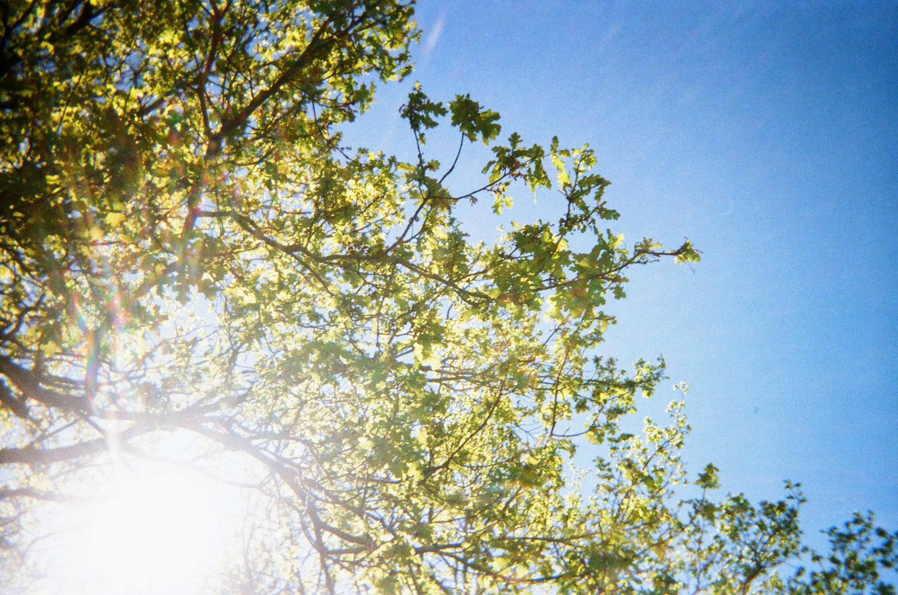
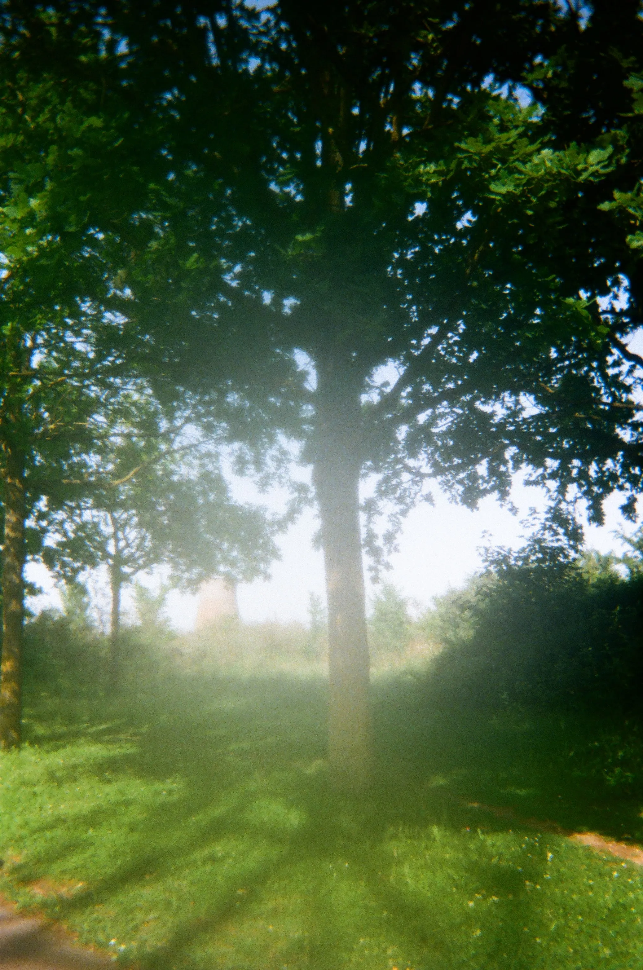
Field photographs were taken using a Google Pixel 9a smartphone, a Redmi 9T, and disposable Kodak cameras. The Pixel 9a embeds GPS coordinates in the EXIF metadata of each image, making it the primary photographic instrument for georeferenced records. Photographs are stored in Google Photos (primary archive, with GPS-bearing originals) and in a Notion workspace (working copies organised by taxon for determination purposes). A Pixel filename convention (PXL_YYYYMMDD_HHMMSSxxx format) serves as the primary key linking photographic records to identification workflows.

Documentation targets for each taxon include: habit (whole plant in situ), diagnostic characters (leaf shape, stem cross-section, inflorescence details), and habitat context. For difficult taxa, multiple photographs at different growth stages were taken across visits.

Video

Short video clips were recorded for taxa where movement or three-dimensional structure aids identification (e.g., grass inflorescences, climbing species). Videos are stored alongside photographic records and serve as supplementary documentation rather than primary identification evidence.

Herbarium

A physical herbarium of over 120 confirmed specimens was produced. All specimens follow standard collection and pressing protocols: plants collected at peak identification stage, pressed and dried between herbarium paper, mounted on A3 card stock. Label information follows a consistent format: French common name / Latin name with authority / collection date / Colombelles / Class / Order / Family / observed diagnostic characters / CBNSA status.

Photographs of each mounted specimen were taken under controlled lighting and processed in Adobe Photoshop for consistent background and tone. The herbarium serves multiple functions: as a physical voucher supporting determination, as a reference collection for future comparisons, and as a visual object in its own right for the project's website.

Determination workflow

Initial identifications were made in the field using visual recognition, supported by PlantNet as a secondary verification tool. Difficult taxa were brought home for determination using a hand lens (x10), and where necessary, a dissecting microscope. Key determination resources used include regional floras, Baseflor, TaxRef v18, WCVP/POWO, and FloraVeg.EU.

When material was insufficient for a confident determination, the taxon was recorded at the achievable taxonomic level with an explicit pending note, using standard indeterminate notation: cf. / agg. / sp. / indet. as active scientific statements, not placeholders. Determinations were never forced beyond what the available material supported. As an amateur practitioner, a number of identifications remain under review and will continue to be refined over the course of the project.

Taxonomic validation for selected taxa was provided by Sylvain Diquelou, botanist at the CBNSA/CBN Normandie, who reviewed specimens and corrected determinations where necessary. His corrections were integrated into the dataset with notes.

The unified flora dataset

All records are consolidated in a unified Excel file containing approximately 270 vascular taxa with approximately 45 columns per taxon. Variables include: DAFOR field abundance, Ellenberg-type indicator values (Tichy et al. 2023, six axes: L/T/M/R/N/S), Raunkiaer life form (FloraVeg.EU / Drevojan et al. 2023), disturbance indicators (Midolo et al. 2023), biogeographic status (TaxRef v18), native range (WCVP/POWO), chorological type (Baseflor), seed dispersal mode (Baseflor), flowering period (Baseflor), temporal status (archeophyte/neophyte, FloraVeg.EU), and N-fixation status (NodDB/Werner 2014). A separate sheet contains 13 confirmed fungal taxa. A next phase of the project will focus specifically on mushroom identification and documentation.

Complementary biological data

Bird species data for the site was provided by Bruno Lang (GONm –Groupe Ornithologique Normand), and will be made available for consultation on the website in a forthcoming update. Pollinator occurrence data was obtained from GBIF (Bombus terrestris, B. pascuorum, Apis mellifera, Episyrphus balteatus; doi:10.15468/dl.jf4xym). Fungal occurrence data was sourced from GBIF (doi:10.15468/dl.4vxs3y), supplemented by First Nature and O'Reilly (2016) for phenology, due to insufficient GBIF sample size.

Historical data on the SMN site was sourced from the Archives du Calvados (fonds 57J, SMN, 2,719 entries, 1727–1995) and from the Mémoire de la SMN association, which provided access to historical photographs.

Epistemological Frame
epistemological frame

Epistemological Frame

Observation as a positioned act

This project does not claim the view from nowhere. It is conducted by a single observer, at a specific site, at specific moments, using specific instruments and carrying specific prior knowledge. Following Donna Haraway's critique of the "god-trick" of disembodied scientific objectivity (Situated Knowledges, 1988), the claim here is not to neutral enumeration but to situated knowledge –knowledge that is accountable precisely because its position is declared. The observer's identity (a developer-designer who is also a biology student), the site's identity (a post-industrial brownfield adjacent to the observer's workplace), and the method (repeated embodied walking) are not confounding variables to be controlled for. They are constitutive of what can be seen and known.

This does not mean the knowledge produced is merely subjective. It means that the conditions of knowledge production are part of the knowledge itself. Every DAFOR assessment carries the observer's accumulated familiarity with the site. Every herbarium specimen bears the trace of a particular afternoon in a particular season. These are features, not bugs.

The body as instrument: Merleau-Ponty and perception

The primary instrument of this research is the human body moving through space. Maurice Merleau-Ponty's account of perception (Phénoménologie de la perception, 1945) provides a framework for understanding why this matters: perception is not the passive reception of sensory data but an active, bodily engagement with the world. The botanist's capacity to recognise a species at a distance –to see a plant before consciously identifying it –is a form of motor-perceptual knowledge that cannot be fully reduced to propositional description. The experienced field worker knows things that cannot be entirely transferred to a field guide.

This phenomenological dimension is not decorative. It explains why repeated visits to the same site produce different observations: the observer's perceptual repertoire expands with familiarity. It also explains the methodological importance of the hand lens –not simply as a magnification device, but as an extension of the body's perceptual apparatus that opens new registers of the visible.

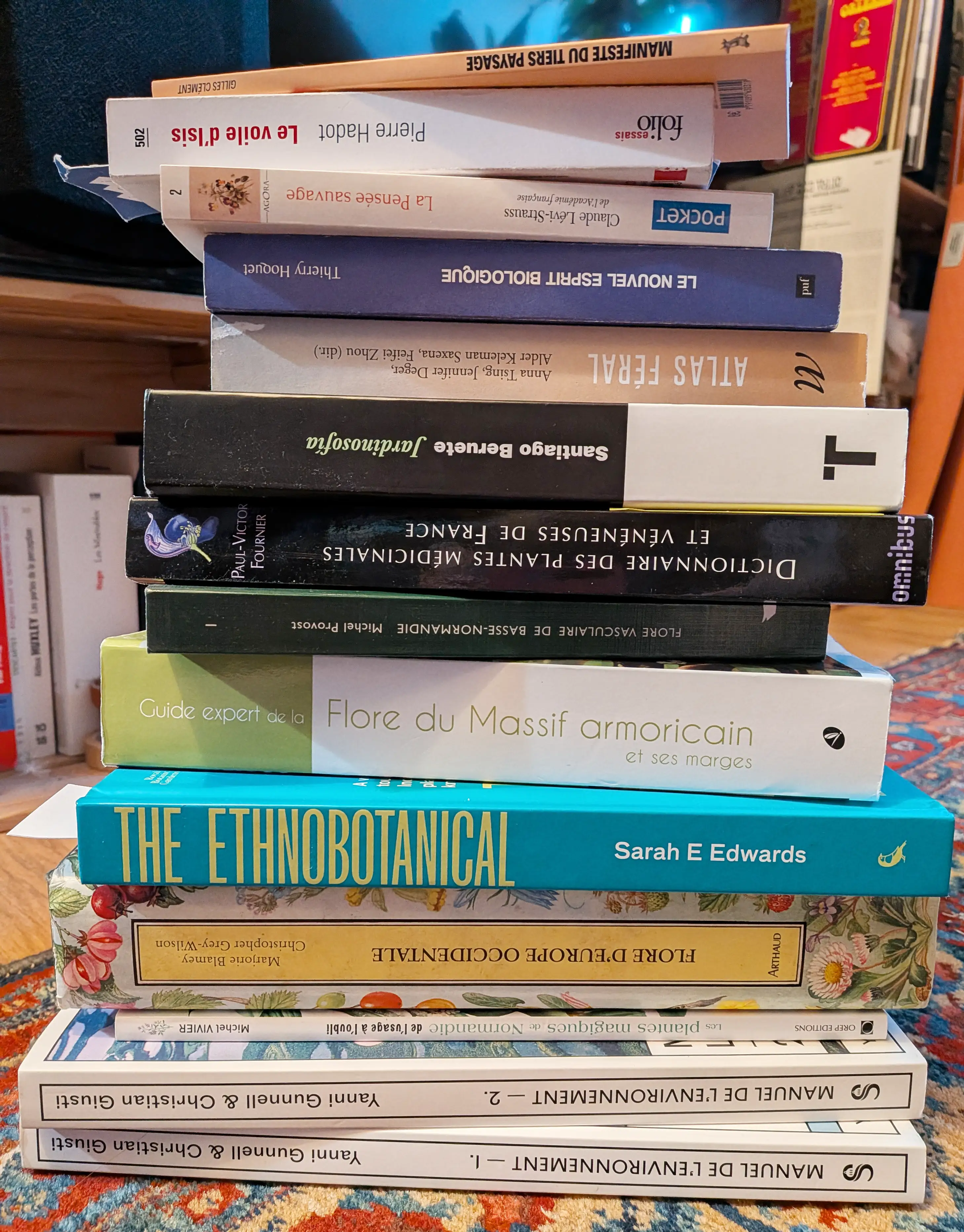
The third landscape: Gilles Clément

The brownfield as a category of ecological attention finds its most articulate theoretical expression in Gilles Clément's concept of the tiers-paysage (third landscape, 2004): the residual, marginal, and abandoned spaces that, precisely because no human intention is imposed upon them, become refuges for biological diversity. Clément's jardin planétaire framework treats the entire surface of the earth as a garden that is collectively managed –or mismanaged –and identifies these marginal spaces as sites of resistance to homogenisation.

The SMN site exemplifies the tiers-paysage: abandoned by industry, not yet claimed by urban development, and colonised by a floristic community that no planner designed. Clément's framework licenses treating this colonisation not as disorder but as a form of ecological intelligence –the site's own response to the conditions it offers.

Heterogeneous temporalities: Warburg and Nachleben

The concept that most directly organises the project's interpretive framework is Aby Warburg's Nachleben (survival, afterlife) –the idea that forms, images, and energies from the past do not simply disappear but persist, resurface, and are transformed in new contexts. Warburg developed this concept in relation to the survival of antique gestural formulas in Renaissance painting; here it is transposed to the botanical domain: the species that colonise the SMN site are themselves bearers of evolutionary histories, dispersal histories, and cultural histories that coexist with the industrial history of the substrate.

The site is thus a space of Zwischenraum –Warburg's interval, the charged gap between past and present, between what was and what is becoming. Multiple temporalities coexist in the same metric space: geological time in the calcareous substrate, industrial time in the corroding steel and concrete, ecological succession time in the plant communities, and human time in the observer's repeated walks.

Warburg's Atlas Mnemosyne methodology –the juxtaposition of heterogeneous images on a cloth-covered board to reveal unexpected affinities and survivals –directly informs the project's Atlas page on the website: a freely repositionable collection of botanical images, data visualisations, and archival photographs that invites the viewer to construct their own synoptic understanding of the site.

Narrative mediation: Ricoeur

Paul Ricoeur's account of narrative as the primary form through which humans organise temporal experience (Temps et Récit, 1983–1985) provides the theoretical grounding for the project's scrollytelling format. For Ricoeur, it is narrative –not data –that transforms a mere succession of events into a meaningful configured whole. The 13-chapter scrollytelling website is not a data portal with a narrative wrapper: it is an argument that the meaning of what happens on the SMN site can only be communicated through a temporal, configured story.

This has methodological consequences. The order in which the site's story is told is not arbitrary. The movement from walking (phenomenological encounter) through seeing (botanical determination) to documenting (archival and digital inscription) is itself a narrative structure that reflects the actual sequence of knowledge production.

Bachelard: the poetics of space

Gaston Bachelard's La Poétique de l'espace (1957) offers a complementary register: the phenomenology of inhabited space, and particularly of spaces that provoke reverie and imagination. The brownfield is, among other things, a poetic space –a space that resists immediate categorisation and opens onto a different relationship with time and matter. Bachelard's attention to the intimacy of corners, the expansion of open space, and the way certain environments concentrate memory and imagination is relevant to understanding why the SMN site generates the kind of sustained attention this project documents.

References
references

References

Ecological theory and brownfield ecology

Clément, G. (2004). Manifeste du Tiers paysage. Paris: Éditions Sujet/Objet. The foundational text for understanding residual and marginal spaces as ecologically and politically significant. Clément argues that human abandonment of control over certain spaces creates conditions for biological diversity that managed landscapes cannot reproduce. Directly applicable to the SMN site as a case of the tiers-paysage in action.

Mabey, R. (2010). Weeds: In Defense of Nature's Most Unloved Plants. New York: Ecco/HarperCollins. A cultural and botanical history of plants that grow in disturbed and marginal habitats. Provides important context for understanding the cultural construction of "weed" as a category, and for reframing ruderal species as ecologically meaningful rather than merely unwanted. Relevant to the project's challenge of taking brownfield flora seriously as a scientific object.

Botanical references and databases

Tichy, L. et al. (2023). Ellenberg-type indicator values for European vascular plants. Journal of Vegetation Science. The source for all Ellenberg-type indicator values (L/T/M/R/N/S) used in the project's abiotic profile analyses. These values allow indirect environmental characterisation of the flora without requiring direct physical measurements of soil chemistry or light levels.

Drevojan, P. et al. (2023) / FloraVeg.EU. Raunkiaer life form classifications and temporal origin (archeophyte/neophyte) data for European vascular plants. Source for life form data used in the Raunkiaer bar chart (222 classified taxa: Hc 108, Th 53, Ph 40, G 16, Ch 5) and for temporal status in the unified dataset.

Midolo, G. et al. (2023). Disturbance indicator values for European plants. Source used for the disturbance axis in the abiotic profile analyses.

INPN / TaxRef v18. Référentiel taxonomique national français. Source for biogeographic status (native, archaeophyte, neophyte, etc.) at the French scale. Note: TaxRef code "P" (Present) indicates indigenous or indeterminate status –it does not confirm indigeneity.

WCVP / POWO (Plants of the World Online). Kew Gardens. Source for native range data and accepted nomenclature.

Baseflor. French phytosociological and chorological database. Source for chorological type, seed dispersal mode, and flowering period data.

Werner, D. (2014) / NodDB. Source for nitrogen-fixation status of leguminous and actinorhizal taxa in the dataset.

Epistemology and philosophy of science

Haraway, D. (1988). Situated knowledges: The science question in feminism and the privilege of partial perspective. Feminist Studies, 14(3), 575–599. The foundational text for the project's epistemological positioning. Haraway's critique of the "god-trick" of disembodied objectivity and her argument for "situated knowledge" as a more honest and accountable form of scientific practice directly inform the project's reflexive stance toward its own methods.

Merleau-Ponty, M. (1945). Phénoménologie de la perception. Paris: Gallimard. The foundational account of embodied perception as an active, motor engagement with the world rather than passive reception of sensory data. Used here to theorise the role of the observer's body and accumulated perceptual expertise in botanical field work.

Bachelard, G. (1957). La Poétique de l'espace. Paris: PUF. A phenomenology of inhabited and imagined space. Relevant to the project's attention to the experiential and affective dimensions of the brownfield as a place, and to the way certain environments concentrate and transform human attention.

Ricoeur, P. (1983–1985). Temps et Récit (3 vols.). Paris: Le Seuil. Ricoeur's argument that narrative is the primary form through which human beings configure temporal experience into meaningful wholes. Grounds the project's choice of a scrollytelling format as not merely a communication strategy but a methodological claim about how knowledge of this site can be transmitted.

Warburg and the Atlas tradition

Warburg, A. (1929). Atlas Mnemosyne (reconstructed edition). The founding gesture of the atlas-as-methodology: the juxtaposition of heterogeneous images on cloth-covered boards to reveal unexpected survivals and affinities across time and geography. The direct model for the project's Atlas page.

Didi-Huberman, G. (2011). Atlas ou le gai savoir inquiet. L'œil de l'histoire 3. Paris: Les Éditions de Minuit. The most thorough contemporary elaboration of Warburg's atlas methodology and its theoretical implications. Didi-Huberman's analysis of the Nachleben concept, the Zwischenraum (charged interval), and the übersichtliche Darstellung (synoptic presentation) as a form of knowledge that operates through juxtaposition rather than explanation is central to the project's theoretical framework. Directly informed the design of the Atlas page.

Archival and historical sources

Archives du Calvados, fonds 57J. SMN (Société Métallurgique de Normandie), 2,719 archival entries, 1727–1995. Primary archival source for the historical timeline of the site.

Mémoire de la SMN association. Colombelles. Provided access to historical photographs of the steelworks. Contact established 2024–2025.

Biodiversity data

GBIF.org (2024). GBIF Occurrence Download –Pollinators (Bombus terrestris, B. pascuorum, Apis mellifera, Episyrphus balteatus). doi:10.15468/dl.jf4xym. Accessed 2024.

GBIF.org (2024). GBIF Occurrence Download –Fungi. doi:10.15468/dl.4vxs3y. Accessed 2024.

Lang, B. / GONm (Groupe Ornithologique Normand). Bird species data for the SMN site. Provided directly to the project, 2024–2025.

O'Reilly, P. (2016). Fascinated by Fungi. First Nature. Source for fungal phenology data, used in conjunction with GBIF data.

Website
website

Website

The site as research instrument and research output

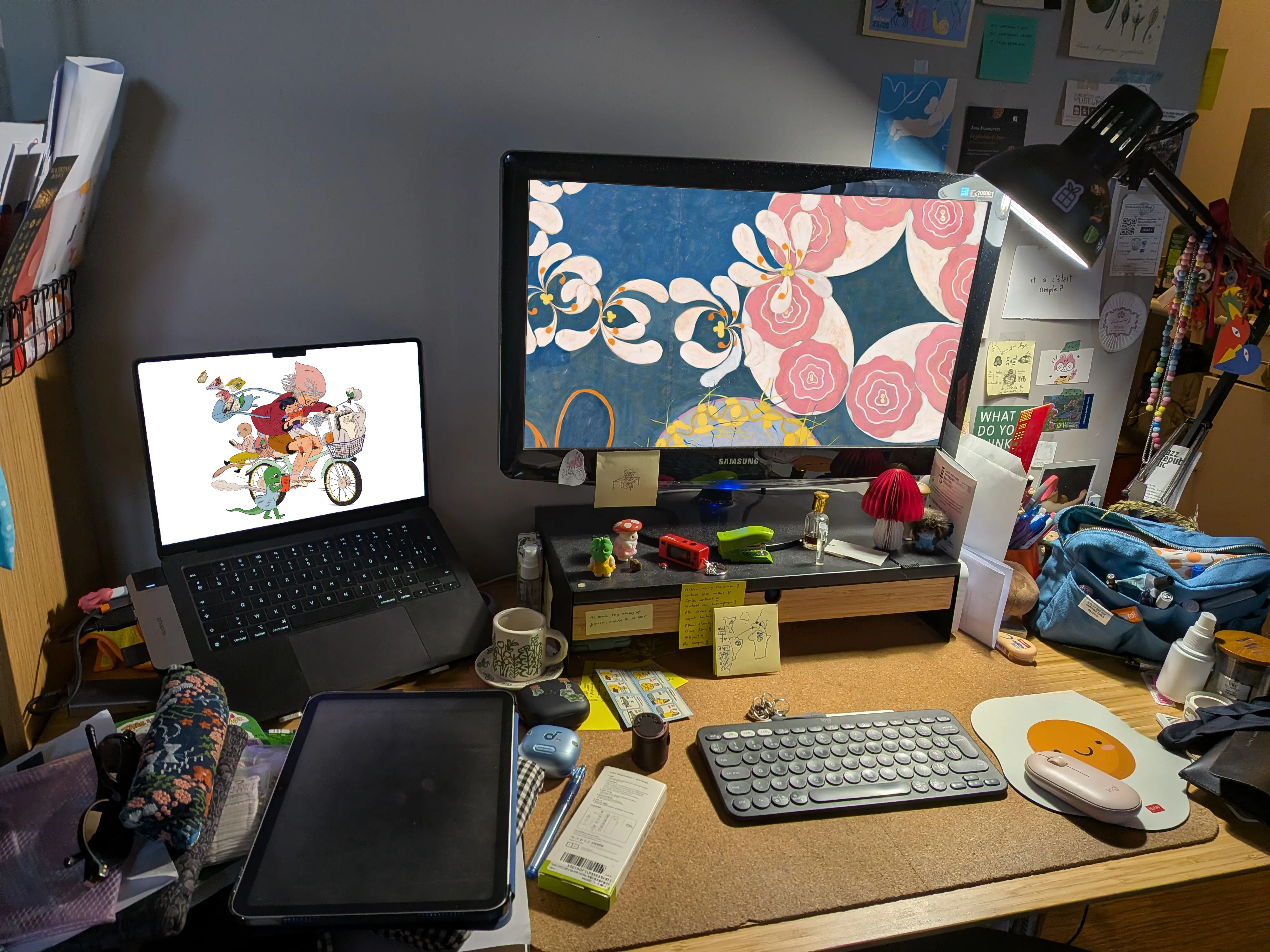
I am a full-stack developer and UX/UI designer at Ob'dO in Colombelles. The project's primary digital output is a scrollytelling website at lunchbreakflora.com, built with Next.js. The website is not a communication layer added after the research was complete: it is simultaneously a research instrument and a research result. This dual status is methodologically significant. The process of designing how to present a piece of knowledge –how to sequence it, what to juxtapose, what to make interactive –is itself an analytical act. It forces decisions about what the data means and how it should be encountered.

Architecture: WALKING / SEEING / DOCUMENTING

The website is organised into 13 chapters grouped under three structural parts that mirror the epistemological sequence of the research:

WALKING –the phenomenological encounter with the site: what it is to be a body moving through this space, what the site feels like, how observation begins.

SEEING –the botanical and scientific work: identification, determination, ecological analysis, the construction of the dataset.

DOCUMENTING –the archival and narrative work: how the site's history is reconstructed, how knowledge is transmitted, and what a "document" of a living place can be.

This three-part structure is not decorative. It reflects Ricoeur's narrative mediation model: the movement from lived experience (walking) through scientific configuration (seeing) to narrative transmission (documenting) is the actual sequence in which meaning is produced.

Scrollytelling

The core narrative experience of the website is built around scrollytelling –a format in which the reader's scroll position drives the progression of visual and textual content. This format was chosen because it imposes a temporal sequence on the reader's encounter with the material, replicating in structure the temporal sequence of the research itself. You cannot jump to the data before you have walked through the site; you cannot see the herbarium before you have been present in the space. The format draws inspiration from The Pudding and similar long-form digital journalism projects that have demonstrated what scrollytelling can achieve in terms of experiential depth.

Technical implementation uses Next.js with scroll-triggered animations and transitions. Data visualisations are rendered as custom SVG/JavaScript components, built from scratch without reliance on third-party charting libraries where possible, to allow precise visual control. Interactive elements include a phenological timeline (Plotly), a seasonal arc visualisation in native SVG/JS, a Raunkiaer life form bar chart, a taxonomic sunburst (271 taxa, 4 rings), a ridge plot / abiotic signature visualisation, and a historical site timeline. Static assets and processed herbarium photographs are served from Amazon S3.

The Atlas page: Warburg's methodology made interactive

The Atlas page constitutes the website's most radical formal proposition. Inspired directly by Warburg's Atlas Mnemosyne, it presents a collection of botanical images, data visualisations, archival photographs, and textual fragments as freely repositionable widgets on a dark-background canvas. On desktop, the interface is a Figma-like free canvas –objects can be moved, arranged, and juxtaposed by the user according to their own interpretive logic. On mobile, the interface becomes a horizontal panoramic scroll (three to four times screen width) with geographically pinned widgets that open as full-screen modals.

This design embodies the epistemological claim that knowledge of the site is not linear: it is relational, synoptic, and open to multiple configurations. The Atlas does not tell the user what the site means. It provides the elements from which meaning can be assembled.

Design
design

Design

Visual identity as methodological commitment

The visual identity of the project is not aesthetic decoration: it is an argument about what kind of knowledge this is and how it should be encountered. Every typographic and chromatic decision was made to signal that this is simultaneously rigorous scientific work and humanistic narrative –that the two are not in tension.

Typography

The primary typeface is Cormorant Garamond, a serif with humanist roots that carries associations with the history of botanical illustration and early natural history publishing. It is used for titles, chapter headings, and sustained narrative passages. The secondary typeface is DM Sans, a clean, legible grotesque used for data labels, captions, and interface elements. The combination creates a deliberate contrast between the historical and the contemporary, the qualitative and the quantitative, mirroring the project's own dual temporal register.

Colour palette

The palette was built around the material and historical reality of the site: Bordeaux (#6B2D3E) –the industrial building materials and oxide tones of the steelworks. Vert-SMN (#4A6741) –the greens of the colonising vegetation. Parchemin (#F7F4EE) –herbarium paper, archival documents. Terre (#2C1810) –soil, shadow, depth. Jaune-lumière (#E8C840) –sunlight on the open site, the colour of Hypericum flowers.

These are not arbitrary brand colours. They are an attempt to make the site's own material palette visible in the interface.

Logo system

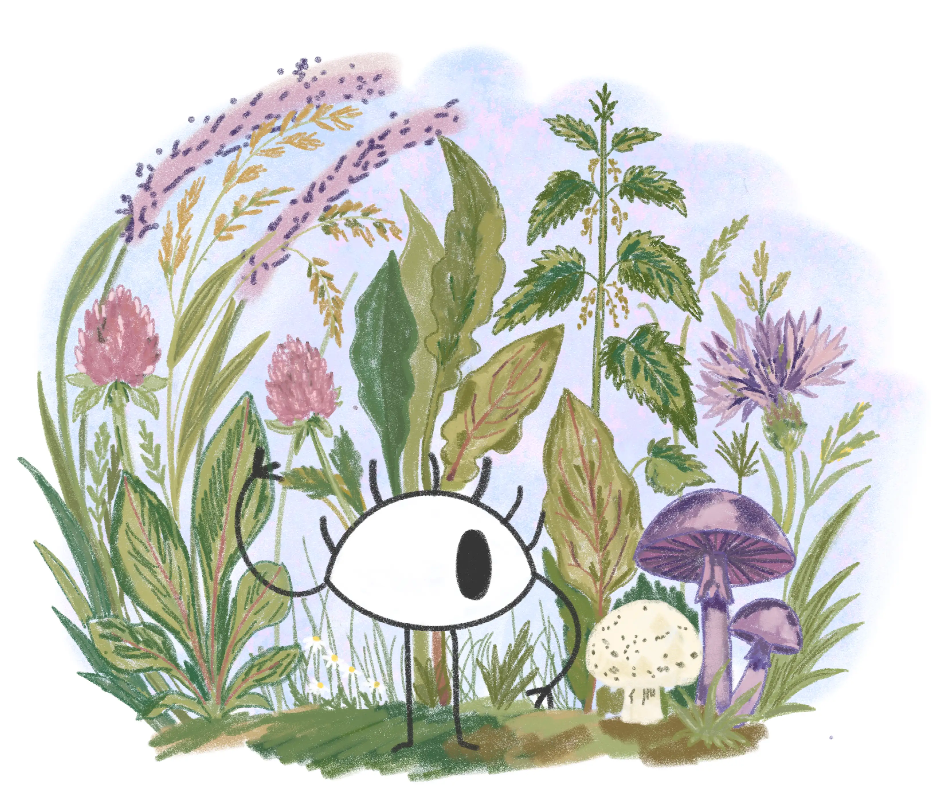
The logo is a horizontal monoline frieze depicting five botanical-ecological elements present on the SMN site: bramble, grass spike, a walking-eye creature (the observer), Hypericum, and mushroom. Below the frieze, the project title appears as "WALKING SEEING DOCUMENTING" in spaced capitals. The logo is rendered in bordeaux monochrome; the favicon uses the walking-eye pictogram alone.

The frieze format is a direct reference to the continuous frieze as an art-historical device for representing sequence and co-presence –elements existing alongside one another in a shared horizontal space, as the species of the site coexist on the brownfield.

Photography, illustration, and visual authorship

All photographs, illustrations, and visual assets in the project were created by the author. Photographic documentation was produced using a Google Pixel 9a, a Redmi 9T, and disposable Kodak cameras in the field, with post-processing in Adobe Photoshop. Botanical illustrations were produced using Procreate, Adobe Fresco, and Adobe Illustrator. The herbarium photographs were processed in Photoshop for consistent lighting and background.

The herbarium photographs are used throughout the website as full-bleed and detail images. Their visual language deliberately references both scientific herbarium sheets (clinical, precise, white background) and botanical illustration (attentive, composed, beautiful). This oscillation between the scientific and the aesthetic is itself a formal argument: that these plants repay both kinds of attention simultaneously.